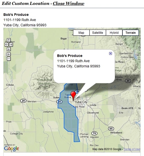
A couple weeks ago we released the Custom Maps Asset for Site Builder 3 only to de-release it the same day. After we released it we found that people needed several ways to enter locations into a map. We took advantage of this time to add a few new features to the map before re-releasing the new and improved Custom Maps.
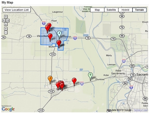
The new and improved Custom Maps allows much more flexibility in creating maps. Now you can choose locations through different methods. If you know The locations address you may simply enter the address and the location will automatically be chosen based on the address. The other method is by selecting the location on the map itself. We found out we needed both as some locations, such as fruit stands, don't have an address.
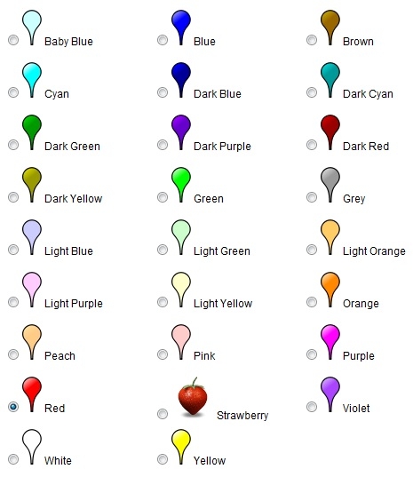
Some of the other options we added in was an auto numbering system that shows numbers over the icons and a wide selection of map Icons to choose from. For the moment we have a couple dozen color choices for map Icons. These can be selected to show on the map for every location or each icon can be selected individually. Custom Icons are available as well, however due to the complexity of adding new icons, that needs to be done through one of us at the Web Action Team.
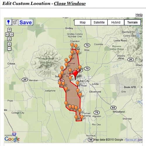
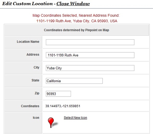
One of the "behind the scenes" tools that was re-done for this was the Geo-coding tool. Geo-coding is the process of relating address information to GPS coordinates. Google has a nice interface which allows us to get GPS coordinates from an address and will also get address Information from GPS coordinates. In the image below a location was chosen on the map and from the coordinates Google returns the nearest address. Sometimes the address may be specific enough to know the name of the building and other time's only the nearest city is found. The idea is to help save you time when entering a new location on your map.
We have more exciting additions coming to the Custom Maps. So keep an eye out!
If you would like to request a custom Icon be added then please contact me.
